Project information
- Category: Remote Sensing and GIS
- Skills used: Cartography, ArcMap, Web Scraping, Google Earth Engine, Google Map
- Find Source-code at: GitHub
Summary
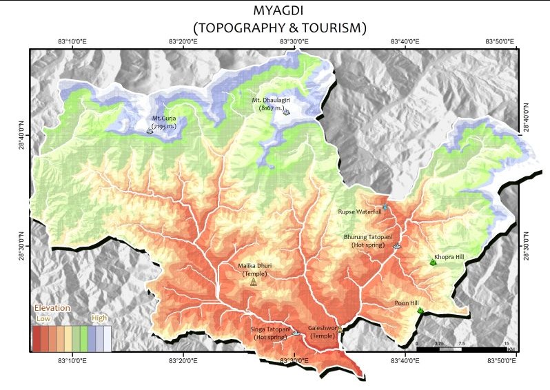
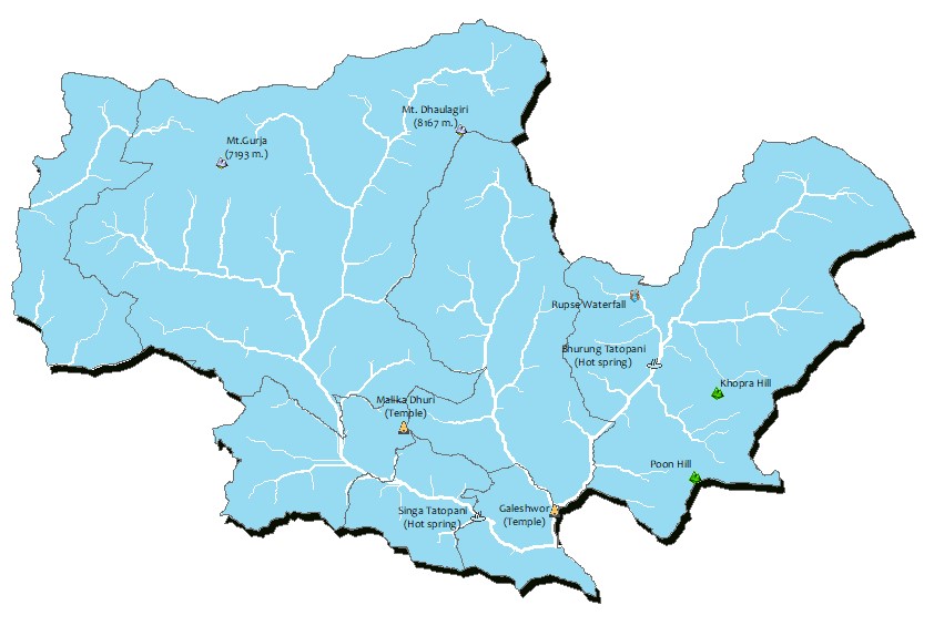
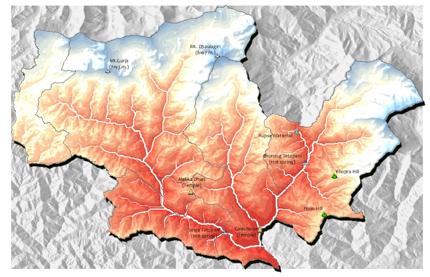
This is a topographic map of Myagdi, a district in Nepal. As a part of data preparation, the aspect map of myagdi along with a DEM was obatined using Google Earth Engine. The data was then displayed using ArcMap 10.8.2. For stream Network, the "DEM to Stream Network Model" was used. Finally, the tourism data was prepared using wikipedia and Google Maps.