Project information
- Category: Machine Learning
- Skills used: ArcMap, Python, GDAL, Tensorflow
- Find Source-code at: GitHub
Summary
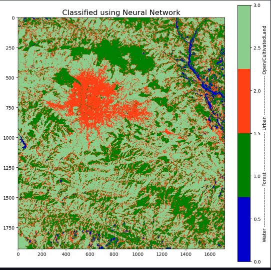
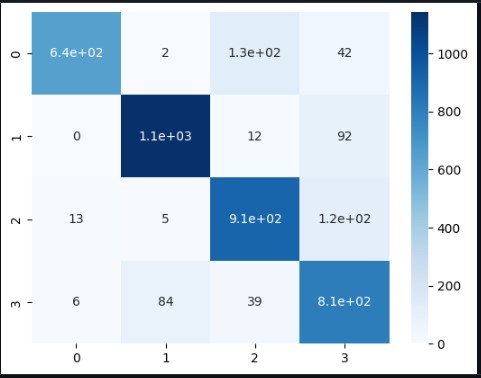
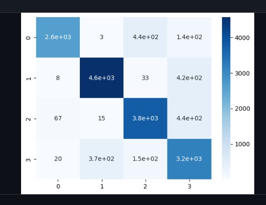
Classified a Landsat 8 satellite image of Kathmandu Valley and its neighboring areas using a fully connected neural network with an accuracy of 86 percentage. The project involved preprocessing the image using ArcMap and classifying it using a fully connected neural network using TensorFlow, GDAL, and Keras Tuner. The primary objective of this project was to classify the image into four different land use and land cover categories. The results we obtained demonstrated the tremendous potential of machine learning in geospatial analysis, as we achieved high accuracy in the classification process.


