Project information
- Category: Remote Sensing and GIS
- Skills used: Cartography, ArcMap, Python, Web Scraping, Google Earth Engine, Google Map
- Find Source-code at: GitHub
Summary
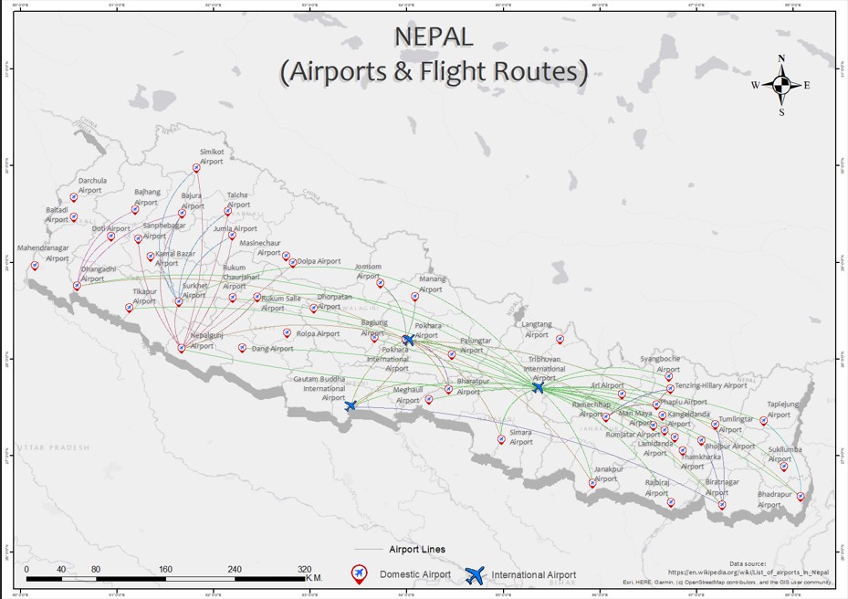
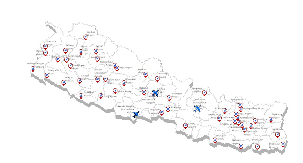
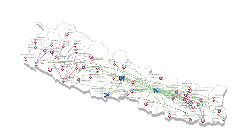
This map shows different types of airports in Nepal, and their filght routes. Though the points between the flight routes are accurate, the flight path itself is modified to look visually pleasing. To make this map, data was obtained using web-scraping. Python and ArcMap was used for data processing. ArcMap 10.8.2 was used to create the map.


